


The GIS Department is responsible for all maps and geographic data within the city. Below you will find links to interactive and downloadable maps. Printed maps are available upon request for a small fee.
Interactive Maps
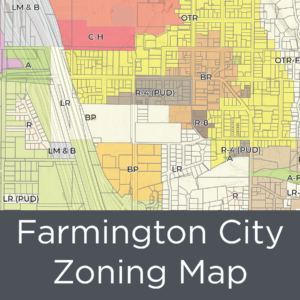
- Farmington City Information (Property Ownership, Subdivisions, & Zoning)
- Farmington City Cemetery
- Farmington City Parks
- Farmington City Garbage/Recycle Map
Downloadable / Printable Maps
Printing costs
- 8.5×11 – $1.00
- 11×17 – $2.00
- 24×36 – $10.00
- 36×48 – $15.00
- Custom Maps – Based on time and size
TRAILS
Welcome to Farmington Trails!
One of Farmington’s greatest assets is the location next to beautiful mountains…and the best part – we have trails and open space areas right in our backyard, probably less than ten minutes away!
Hard copies of the 2023 Trails book are available at City Hall, $20/book.
If you don’t want to pay for the hard copy, you can download a copy:
The trail numbers are aligned with the Farmington City Master Trails Map and Chart, which is available at the City Building, 160 S. Main Street. A Trail Guide Booklet is also available featuring additional detailed maps of trail sections and the Master Map.